A Picture (or a Tracking Tool) Can Say a Thousand Words
Deepwater Horizon Project Tracking
By: ELI Ocean Program
Posted on our Ocean Talk blog on September 24, 2014
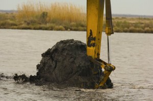
Restoration at Rainey Refuge in Louisiana. Credit: NOAA
In the Gulf of Mexico region, 89 projects to date have been finalized for restoration and recovery in the wake of the Deepwater Horizon oil spill. These projects are funded under several different mechanisms, including the Natural Resource Damage Assessment process and the National Fish and Wildlife Foundation’s Gulf Environmental Benefit Fund. Over the coming years, hundreds if not thousands of projects will be finalized under these mechanisms, the RESTORE Act, and other processes.
The projects are often accompanied by lengthy descriptions and analysis, from cost and project descriptions to environmental review and ongoing maintenance and monitoring. With this wealth of information available or forthcoming, it becomes important to understand how it all fits together, and how Deepwater Horizon recovery projects will contribute to long-term ecosystem health and sustainability in the Gulf.
So the big question is:
How can we summarize thousands of pages and hundreds of thousands of words to paint a more complete picture of Gulf restoration that informs decisionmakers and the public?
ELI’s Ocean Program and other organizations are trying to answer that question. To find solutions, we must keep in mind three important points:
1. It is difficult to track the various restoration and recovery processes as they move along, and it is only going to get more difficult as more funding is made available.
2. Easy access to understandable information leads to meaningful public engagement, enhances transparency, and increases opportunities for collaboration.
3. Geospatial information, user-friendly data layers, and tracking tools can help stakeholders and policy-makers make efficient and accurate decisions.
What are the tracking tools, and how can you use them?
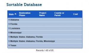
The Ocean Program manages a searchable database for all restoration projects that have been finalized to date. The database allows users to filter results by state and then by funding mechanism, and to find projects by state or county/parish through a search function. These tools attempt to track the projects as they are announced so people can see where the money is being spent, along with some details about specific projects.
The Gulf of Mexico Alliance has a map of restoration projects and other efforts related to priority issues in the Gulf (not limited to projects receiving Deepwater Horizon recovery funds). It is an example of how maps may be especially useful at providing geospatial information and summarizing thousands of projects in a single snapshot.
The Ocean Conservancy has produced a map of NRDA and NFWF restoration projects funded through May 2014.
Finally, the NRDA Trustee Council maps all proposed Deepwater Horizon NRDA restoration projects and provides detailed information on projects that have been selected for early restoration.
What is next?
One thing we know for certain: there are many more projects coming over the next several years. As ELI refines its project tracking tools, our first priorities are to keep the current tools up to date and to incorporate feedback and suggestions to create the most useful information possible for the public and stakeholders.
Our long-term priority, however, may turn out to be the most exciting:
What if we incorporated all of the information from the databases and the maps into a single, straightforward, and simple mapping tool that anyone can use?
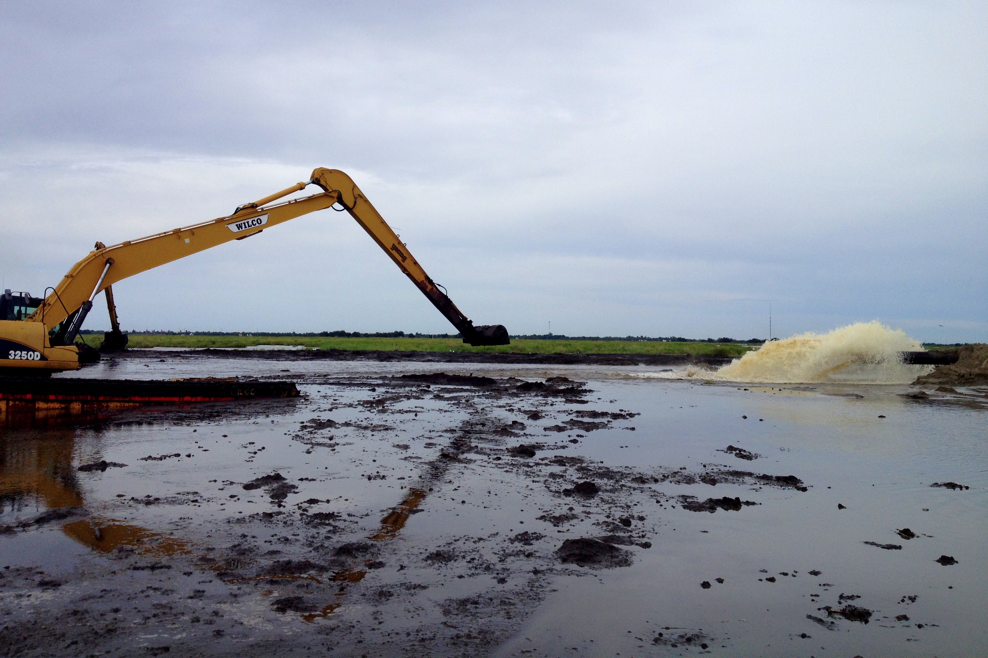
Restoration underway in Plaquemines Parish, Louisiana. Credit: ELI.
Those efforts are underway now, led by the Gulf of Mexico Alliance, the Trust for Public Lands, and Ducks Unlimited, with ELI’s Ocean Program and other entities participating in information-gathering for the new tracker. Read about this initiative here.
What is the final goal for Deepwater Horizon project tracking?
Thousands of words have been written on Gulf restoration and recovery projects, and many thousands more are coming. Very few people have the time or energy to understand how each individual project fits into the broader recovery picture. But by transforming those words into an easier-to-understand picture, our goal is to make participation in the recovery process something that is not limited to those with technical expertise; our hope is to use database and mapping tools to bring information about Gulf restoration and recovery to all.